
IGN • 1
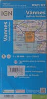
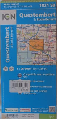
Carte Questembert la Roche-Bernard 1021 SB


Product Insights
The Carte Questembert la Roche-Bernard 1021 SB is a detailed topographic map produced by the French National Institute of Geographic and Forest Information (IGN) covering the Questembert-la-Roche-Bernard area. It presents precise contour lines, road network data, and geographic landmarks at a 1:25,000 scale, making it valuable for hikers, planners, and local authorities who need reliable terrain information. However, as a paper product it can be heavy to carry, is vulnerable to water damage if not protected, and may become outdated as new infrastructure is built.
Comparative Analysis
Targeted at outdoor and planning professionals, this IGN 1021 SB topographic map stands out from generic road maps by delivering official, high-resolution contour data and up-to-date geographic details for the Questembert-la-Roche-Bernard region.
Unlock Full Product Insights
Scan this and millions of other daily products to reveal hidden ingredients, safety alerts, and comprehensive analysis with the free NutrScan app.
Frequently Asked Questions
Everything you need to know about Carte Questembert la Roche-Bernard 1021 SB.