
cartes ign
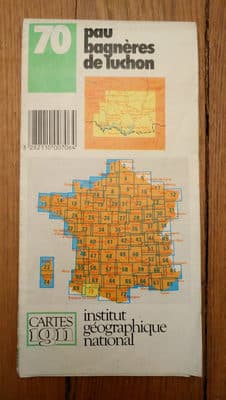
Pau Bagnères de Luchon



Product Insights
The Pau Bagnères de Luchon map, published by Cartes IGN, is a detailed printed atlas covering the French towns of Pau and Bagnères‑de‑Luchon and their surrounding areas. It delivers authoritative topographic and road information ideal for travelers, hikers, and local planners, making navigation and route planning precise and reliable. However, as a paper product the map is prone to wear, tearing, and moisture damage, so it requires careful handling and proper storage to maintain its accuracy.
Comparative Analysis
Unlike generic tourist leaflets, this official IGN atlas provides high‑resolution scale accuracy and comprehensive topographic detail, positioning it as a premium reference for professional and recreational use.
Unlock Full Product Insights
Scan this and millions of other daily products to reveal hidden ingredients, safety alerts, and comprehensive analysis with the free NutrScan app.
Frequently Asked Questions
Everything you need to know about Pau Bagnères de Luchon.